Exporting maps
Exporting to PNG
You can save maps to PNG by clicking the Download button in the toolbar. This will download a static copy of the map.
This feature suffers from some know issues:
- there is no way to set the quality of the rendering at present,
- you cannot export maps that contain a Directions layer (see the issue on Github for details).
Exporting to HTML
You can export maps to HTML using the infrastructure provided by ipywidgets. For instance, let’s export a simple map to HTML:
from ipywidgets.embed import embed_minimal_html
import gmaps

gmaps.configure(api_key="AI...")

fig = gmaps.figure()
embed_minimal_html('export.html', views=[fig])
This generates a file, export.html, with two (or more) <script> tags
that contain the widget state. The scripts with tag <script
type="application/vnd.jupyter.widget-view+json"> indicate where the
widgets will be placed in the DOM. You can move these around and nest them
in other DOM elements to change where the exported maps appear in the DOM.
Open export.html with a webserver, e.g. by running, if you use Python 3:
python -m http.server 8080
Or, if you use Python 2:
python -m SimpleHTTPServer 8080
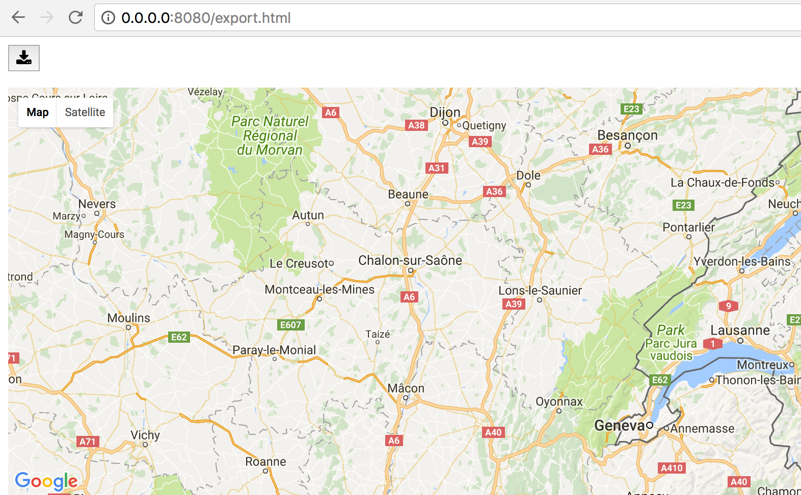
Navigate to http://0.0.0.0:8080/export.html and you should see the export!
The module ipywidgets.embed contains other functions for exporting that
will give you greater control over what is exported. See the documentation
and the source code
for more details.